This is a post about our excursion yesterday, Saturday, which I already posted about on Facebook, but have expanded here somewhat.
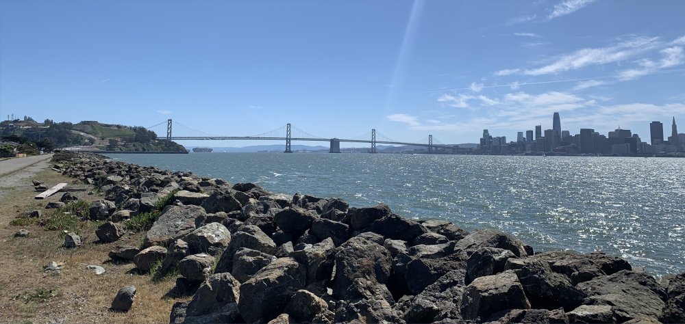
The photo is a panorama from the west side of Treasure Island looking south, showing the west part of the Bay Bridge with the San Francisco skyline at right, Yerba Buena island at left. (I used this photo on yesterday’s blog post as well, because I didn’t want to use any of the photos of politicians from the articles I discussed.)
\\
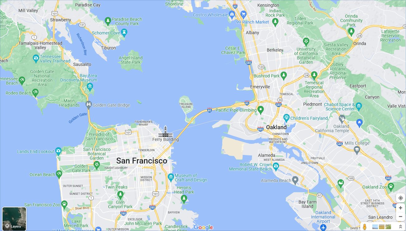
This weekend’s excursion to someplace we’ve never been before was to Treasure Island, the one in the middle of San Francisco Bay. It’s a rectangular island of landfill, attached to the hilly natural Yerba Buena Island, where the two parts of the Bay Bridge anchor and connect through a tunnel.
Treasure Island is in the exact center of this map:
Treasure Island was originally built for a World’s Fair of sorts, the Golden Gate International Exposition, in 1939 and 1940, just after the Bay and Golden Gate Bridges had been opened in 1936 and 1937. For a while the island was also considered as a site for the municipal airport for San Francisco. Instead, it became a US Naval Station from 1941 to 1997.
From Wikipedia, here’s a postcard map of the exposition from 1940:

The curved building in the lower left of the island is still there — now a local government facility apparently, and museum. We didn’t take the time to stop. The illustration shows the same kind of utopian vision of a future world, from the perspective of 1940, about an era of grand buildings and airline travel, in ways that never came to be.
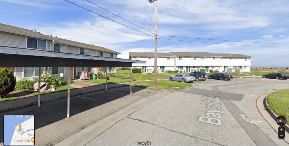
Yet with all this grand history, Treasure Island is the most moribund place we’ve been to in the Bay Area. There are abandoned government facilities, surrounded by chain link fences, along the island’s east side, blocking walking paths that might taken us all the way around the island. And there’s one empty lot at the northwest corner, surrounded on two sides by condos, that has radioactive warning signs on the fences. The north end of the island has a dozen streets of identical barracks-like condos, all apparently occupied. (I checked Zillow, but none of them are for sale or have recently been sold. Yet if the Naval base closed 25 years ago, who owns them?) Here’s a photo of a group of them (with the northern edge of the island just beyond), from Google Maps Street View:
We couldn’t get to the south or southeast end of the island at all. Roads shown on Google, or on my car’s nav system, were blocked off or dead-ended.
We had lunch at Mersea Restaurant, seemingly the liveliest place on the island. The food was good but it took an hour for them to serve our order of tacos and fish & chips. After that we did our walk, for another hour or so, along the shoreline trail, until hitting the fences blocking the east side of the island.
Fun fact: George Lucas once proposed a Star Wars museum for the island, but was turned down by city planners (I think simply because of traffic-flow issues on the already busy Bay Bridge).
The Wiki site has, at the bottom, an even better panoramic shot of the city and bridges than mine.